The Philippines
The Philippines — 7,641 Islands and the Heart of the Coral Triangle
7,641 islands scattered across the western Pacific, at the epicentre of the Coral Triangle. The Philippines holds some of the most biodiverse reef systems on earth alongside white-sand beaches, volcanic landscapes, colonial towns, and a diving culture built around the world's only thresher shark cleaning station.
The geography
The Philippine archipelago spans 1,850 kilometres from the Batanes Islands in the north to Tawi-Tawi in the south, covering more than 300,000 square kilometres of ocean. It sits at the apex of the Coral Triangle — the six-million square kilometre region that holds the highest documented marine biodiversity on earth — and is bounded by the South China Sea to the west and the Pacific Ocean to the east. The result is an extraordinary variety of marine environments: deep oceanic trenches, protected atoll systems, shallow reef platforms, and cold-water seamounts, all within a few hours of each other by inter-island flight.
The main island groups — Luzon in the north, the Visayas in the centre, and Mindanao in the south — each have distinct personalities. The diving is concentrated in the Visayas and the Sulu Sea, with Palawan as a separate and distinct region to the west.
Manila and getting oriented
Most international arrivals land in Manila, which rewards a day or two of exploration before connecting south. Intramuros, the walled city built by the Spanish in 1571, still contains the original grid of colonial streets; Binondo, the adjacent Chinatown, is one of the oldest in the world. The food culture in Manila is underrated — markets, hole-in-the-wall restaurants, and the intersection of Spanish, Chinese, and indigenous culinary traditions produce a cuisine that is still being discovered outside the country.
Domestic connections from Manila reach Cebu, Coron, El Nido, Puerto Princesa, and General Santos in under two hours. The inter-island ferry network covers everything else, with routes connecting most major dive destinations.
Malapascua and the thresher sharks
Malapascua is a small island off the northern tip of Cebu, reached by a 30-minute bangka crossing from Maya. Its significance in the dive world rests on a single site: Monad Shoal, a submerged seamount at 18 to 25 metres where pelagic thresher sharks — Alopias pelagicus — arrive at dawn each morning to be cleaned by wrasse. It is the only known location on earth where thresher sharks visit a cleaning station reliably and at sport diving depth.
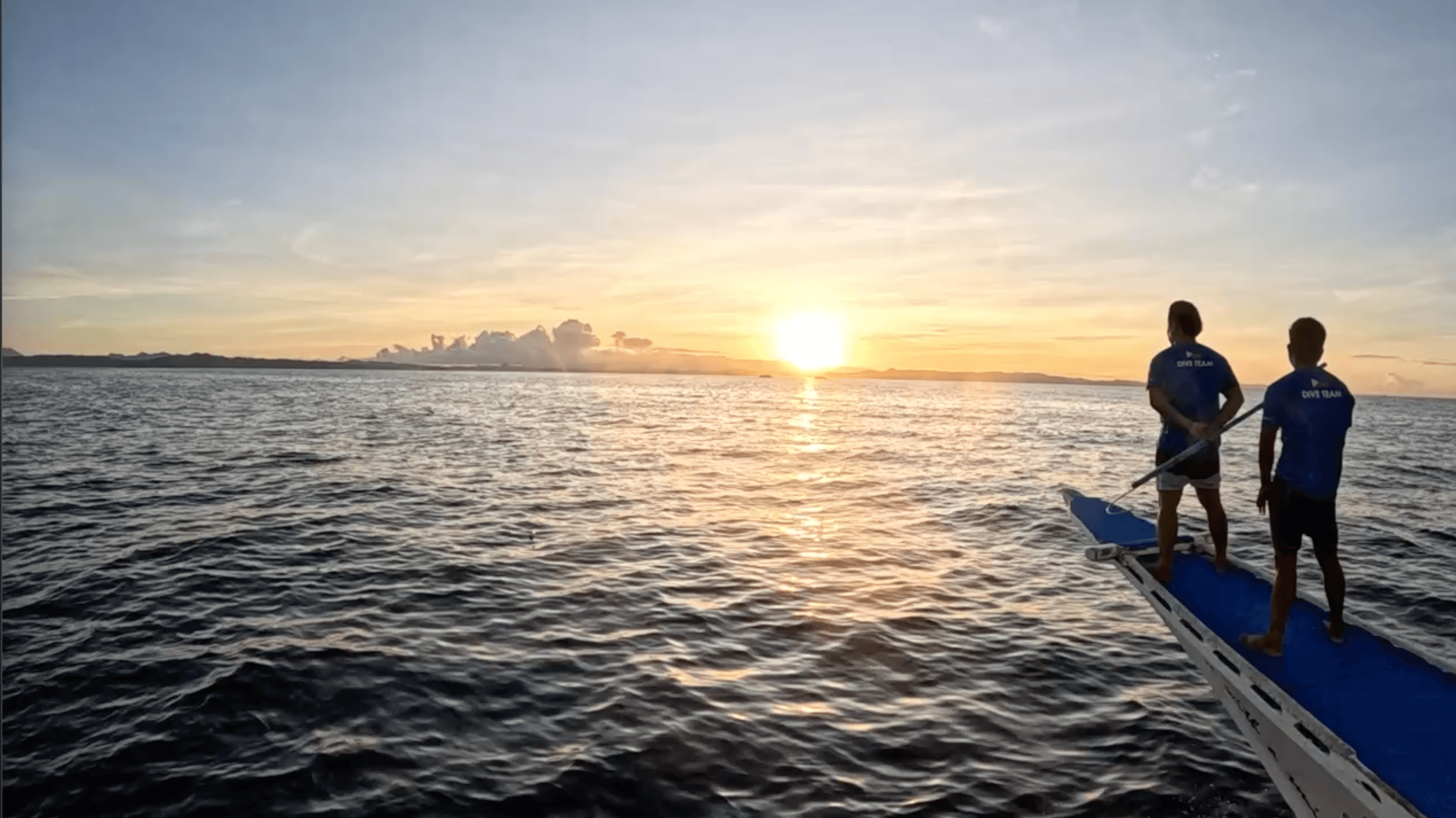
The protocol is early: boats leave before 5am to reach the shoal before sunrise. You descend to the sandy plateau, lie flat, and wait. The sharks arrive from the blue — long scythe tails trailing behind compact bodies — orbit the cleaning station, and depart. On good mornings, seven or eight individuals complete their cleaning run during a single dive. The experience is specific and repeatable in a way that most pelagic encounters are not.
Beyond the shoal, Malapascua has a macro reef scene — frogfish, ghost pipefish, nudibranchs — and easy access to Kalanggaman Island, a protected sandbar 45 minutes by bangka where the beach extends into shallow turquoise water on both sides.
Tubbataha Reef
Tubbataha, a UNESCO World Heritage Site in the Sulu Sea, is accessible only by liveaboard from Puerto Princesa and only between March and June when the sea conditions allow passage. It is one of the most pristine reef systems in the Philippines: two atolls rising from 500-metre depth, with walls dropping vertically from the surface and a density of large pelagic life — grey reef sharks, silvertip sharks, hammerheads, and occasional whale sharks — that is rare elsewhere in the country.
The remoteness is structural: no permanent human settlement, no day-trip infrastructure, no dive operations other than liveaboards. The sea journey from Puerto Princesa takes 10 to 12 hours each way. The limited season and logistical requirement concentrate the visitor numbers in a way that serves the reef.
Coron and Palawan
Coron, in northern Palawan, holds one of the most distinctive wreck diving environments in the world — a fleet of Japanese supply ships sunk by American aircraft in September 1944, now sitting at 10 to 40 metres in Coron Bay. The wrecks are heavily colonised and navigable at advanced diver level. Barracuda Lake, accessible by a short land crossing, is a thermally stratified inland lake connected to the sea where the halocline is visible as a shimmering layer and the temperature shifts sharply across it.
El Nido, further south in Palawan, is better known for its limestone karst scenery — dramatic formations rising from the Bacuit Bay — than for diving, but the snorkelling and diving in the protected lagoons is straightforward and rich.
Island life above the water
The Philippine surface experience is as varied as the diving. Cebu City operates as the main hub for the Visayas, with a working port and food scene anchored around Zubuchon roasted pig and the fish markets of Carbon. The Chocolate Hills on Bohol — over 1,200 perfectly conical limestone hills turning brown in the dry season — are one of the country's more surreal landscapes. Siargao, better known internationally as a surf destination, also has reef diving on its protected western side and an unhurried island pace that makes it a natural recovery stop between liveaboard trips.
Seasons
The northeast monsoon (amihan, November to May) brings calm seas and clear visibility to the Visayas, Malapascua, and Tubbataha. The southwest monsoon (habagat, June to October) reverses conditions and affects the eastern-facing coasts. Palawan and Coron are generally calm from November to May. Tubbataha is liveaboard-only from March to June.
The Philippines in Pictures
Morning light over Malapascua — the pre-dawn bangka departure for Monad Shoal
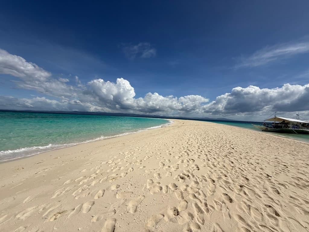
Kalanggaman Island sandbar — one of the most photographed stretches of sand in the Visayas
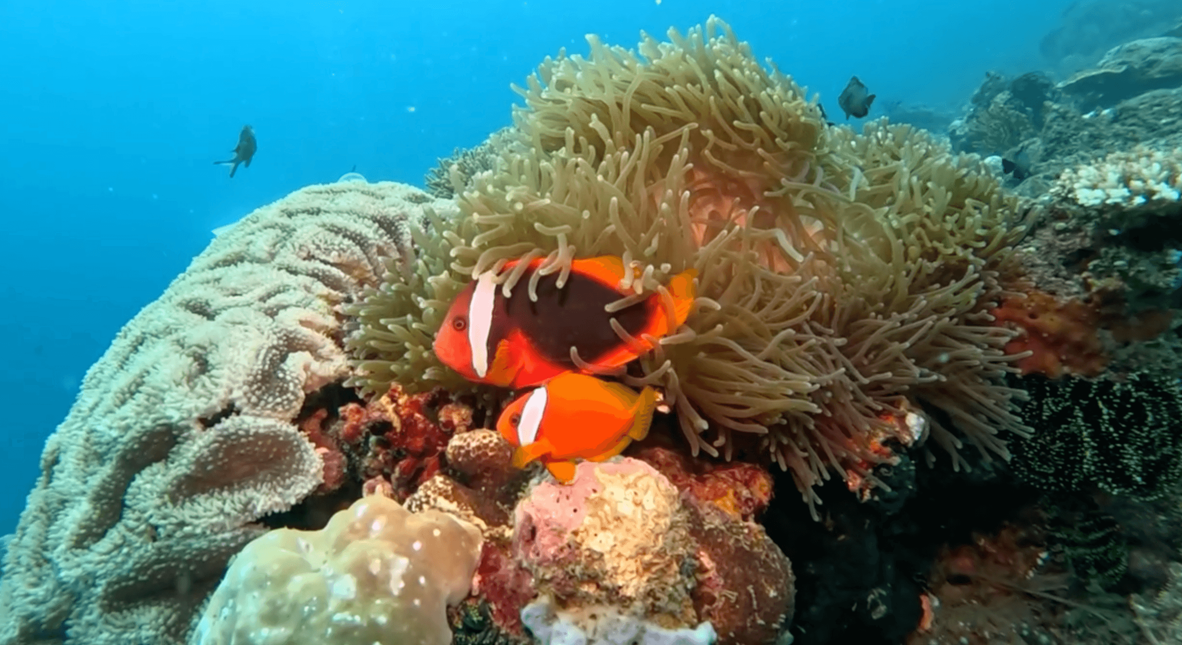
Clownfish in anemone — typical of the shallow reef systems throughout the Visayas