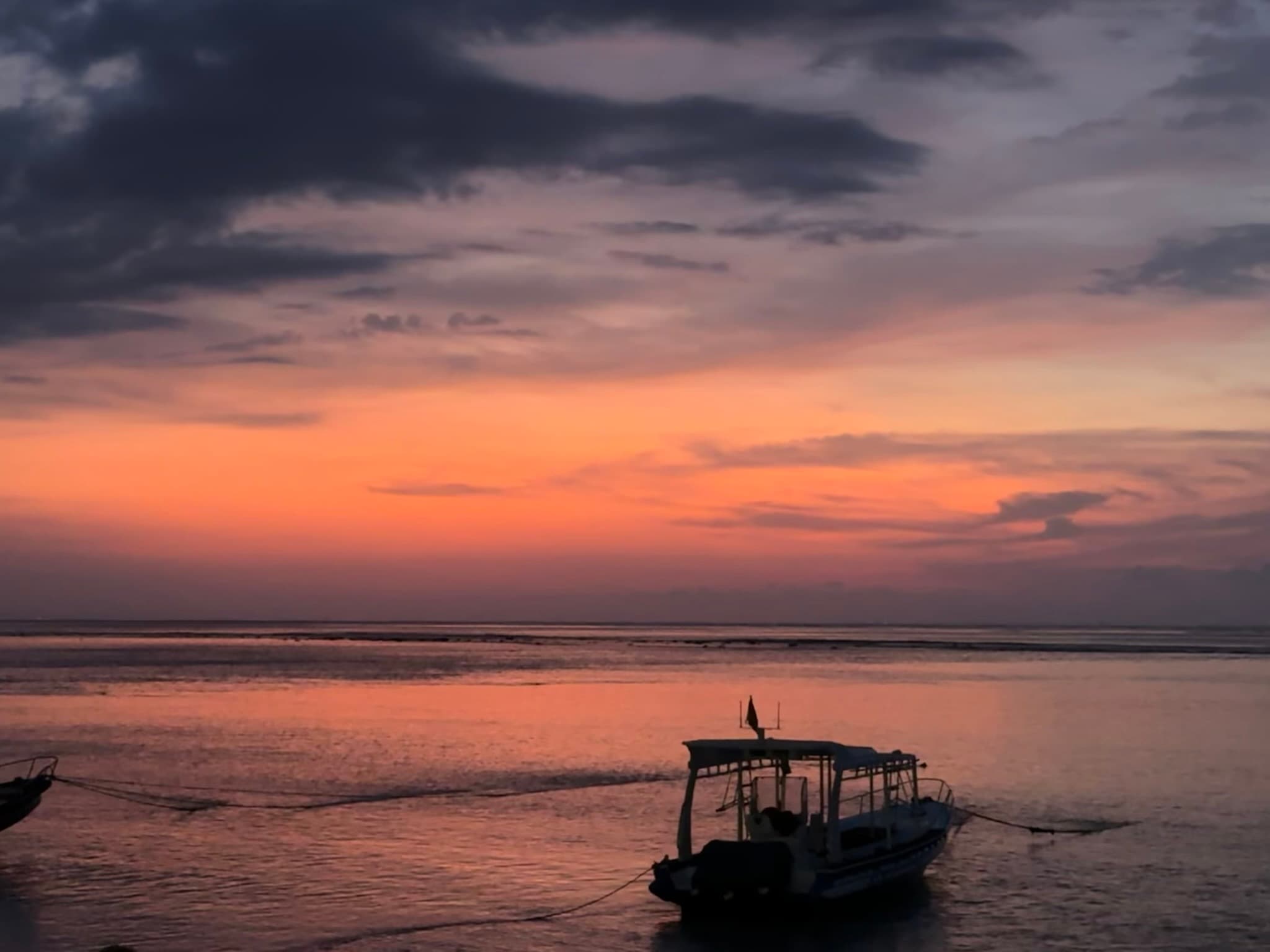
Indonesia · October 2024
Nusa Lembongan & Nusa Penida – Mola Mola, Mantas, and the Bali Current
Nusa Lembongan sits just twenty minutes by fast boat from Sanur — small enough to cross by scooter in an hour, yet surrounded by some of the most productive dive water in all of Bali. In August the mola mola rise from depth.
The island arithmetic
Nusa Lembongan is small — about eight square kilometres — and separated from its larger neighbour Nusa Penida by the Badung Strait. Together they sit in the path of the current that flows between the Bali Sea to the north and the Indian Ocean to the south. This is cold, nutrient-rich water funnelled through a narrowing channel, and in the austral winter months it draws the ocean sunfish up from depth.
The operational split between the two islands is straightforward: Nusa Lembongan offers sheltered, shallower diving suited to training and reef work; Nusa Penida's sites — exposed to the full current — are where the pelagic action concentrates. Most dive schedules use both.
Nusa Penida — the cold-water sites
The Penida side is defined by the upwelling. Sampalan, on the island's northeast coast, is a drift and reef site logged at 18–26 metres — one of the most frequently dived sites in the area, with strong current on the ebb and a reef structure that holds dense fish populations regardless of conditions. Sekolah Dasar (SD), close by, drops to just under 30 metres and offers a steeper reef profile with higher coral diversity at depth.
Pura Mas Gading (PMG) and Pura PED are site pairs on the northwest margin, both with drift components and mixed reef character. PMG logged at 18–24 metres across multiple dives; Pura PED at 22 metres with a more sheltered entry. Sental, at 24 metres, sits on the island's south side and runs longer bottom times owing to the gentler current profile there.
Crystal Bay and the mola mola
Crystal Bay is the primary mola mola site — a sheltered bay on Nusa Penida's west coast where the cold Indian Ocean upwelling creates the thermocline conditions that bring Mola mola to cleaning depth. The ocean sunfish is the world's largest bony fish by weight: adults exceed three metres fin-to-fin and two tonnes. In October, when the cold water is still present, they rise to the rocky outcrops where cleaner wrasse work their skin, gills, and eye tissue methodically. The fish hold almost still during cleaning — the only circumstance under which an animal of that size can be observed at close range. Crystal Bay logged at 22.5 metres.
The limestone coast
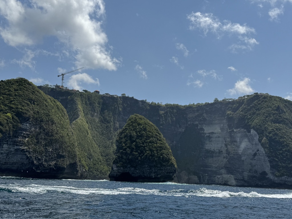
The eastern coast of Nusa Penida drops in sheer limestone cliffs directly into the Bali Strait, the rock face continuing straight down through the water column to the reef below. Viewed from a dive boat running along the wall, the cliff reads as a single uninterrupted surface from the forest canopy to the rubble slope at depth. Development is visible on the clifftops — the reef below will absorb whatever runoff follows.
South Manta Point
South Manta Point sits at the southern tip of Nusa Penida, exposed to the full Indian Ocean swell. On calm days it is a wide, shallow reef at 18–24 metres with reef manta rays (Mobula alfredi) working the cleaning stations in steady circuits. The mantas here are habituated to divers and hold position at the cleaning heads without retreating — a function of consistent, well-managed dive traffic over years.
The arch rock and what lies beneath
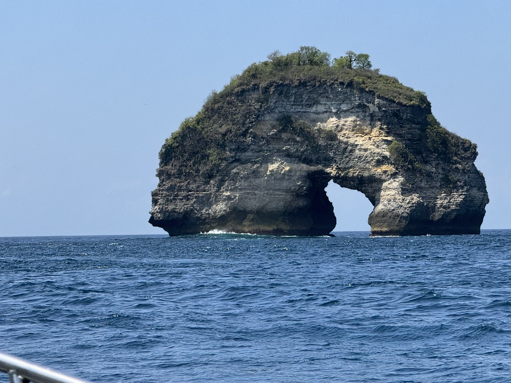
The rock arch visible from the surface marks the position of a cleaning station below — an erosion feature in the limestone with its base extending to around 12 metres underwater. Below the arch a rocky ridge runs west; along this ridge cleaner wrasse stations attract Napoleon wrasse, white-tip reef sharks, and occasional hammerhead transiting through the current. Drift diving this section requires a current read on entry — the Badung Strait runs fast on a big tide.
Nusa Lembongan — Mangrove
On the Lembongan side, Mangrove is the primary logged site — a sheltered, shallower dive at 19.6 metres adjacent to the island's mangrove system. The site serves a different function from the Penida sites: lower current, higher visibility into the structural complexity of the mangrove root system from below, with juvenile fish in high density using the roots as cover. A useful complement to the exposed Penida sites rather than a substitute.
The interior
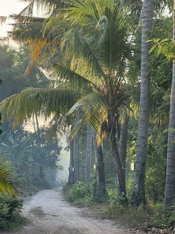
Between dives, the island's interior rewards the crossing. The beach-facing side — Mushroom Bay, Jungut Batu — is developed and busy. Ten minutes inland the roads narrow to single-track, coconut palms crowd in, and the island quiets completely. The seaweed farms visible in the shallower bays were the primary economy for decades; yields have fallen as water temperature has risen, and the dive industry has partially replaced that income.
Conditions
The mola mola season runs July through October, with the cold upwelling most reliable in August and September. October still produces sightings at Crystal Bay. The thermocline at 15–20 metres drops temperatures sharply — bottom temperatures at the Penida sites reach 18°C. A 7mm wetsuit is appropriate. Surface visibility runs 20–30 metres. The Lembongan sites are sheltered and accessible at most skill levels; Sampalan, Crystal Bay, South Manta Point, and the current-exposed drift sites require competence in moving water.
Indonesia in Pictures
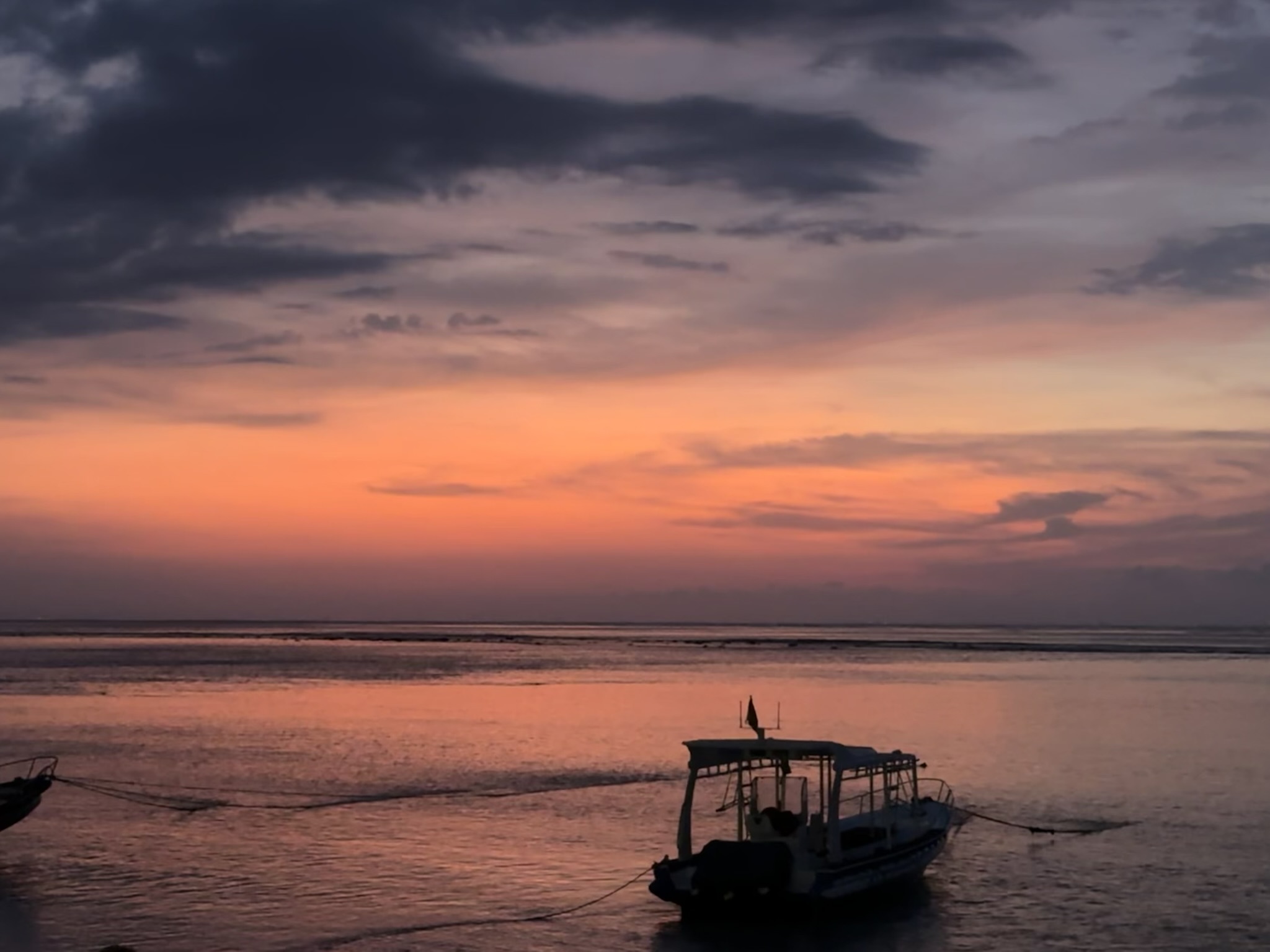
Sunset over the Badung Strait — the dive boat at anchor as the sky turns from orange to deep violet
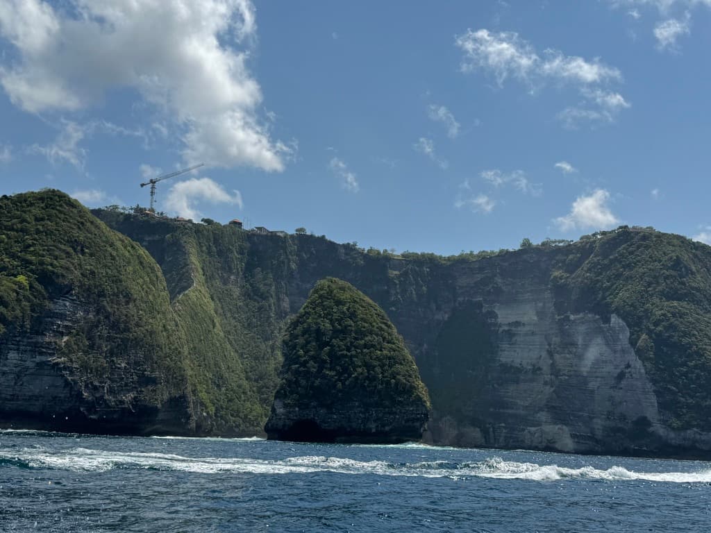
The limestone cliffs of Nusa Penida seen from the water — sheer walls dropping straight to the sea
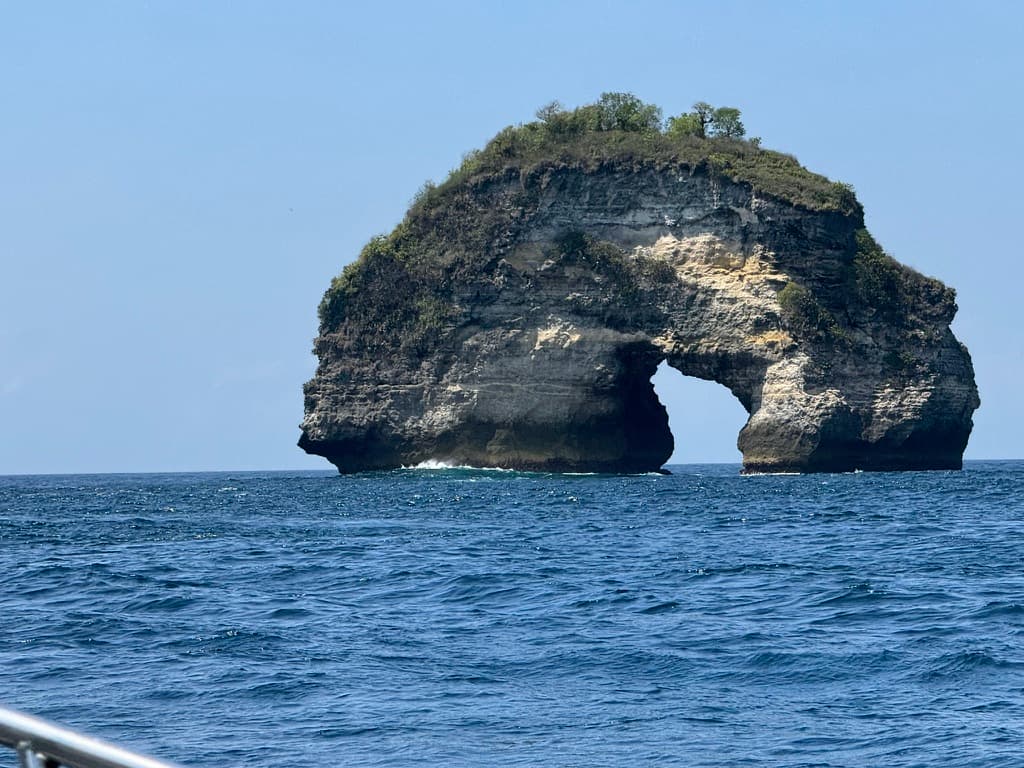
The natural arch rock formation rising from the Bali Strait — a navigation landmark and cleaning station below
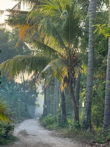
The palm-lined interior of Nusa Lembongan — the island quiets completely once you move away from the beach strip