Bonaire · 2017–2019
Bonaire – West Coast South
South of Kralendijk the coast flattens into salt pans and the reef becomes shallow, calm, and dense with life — Klein Bonaire sits a short water-taxi ride offshore and its no-take wall is among the healthiest reef in the Caribbean.
The south coast
South of Kralendijk the character of the coast changes. The dramatic ironshore cliffs of the north give way to a flatter shoreline — the road runs close to the water, the entries are easy, and the reef begins almost at the surface. This is open-water territory: shallow, well-lit, and calm enough that you can comfortably do four dives a day without working hard.
The salt pans that dominate the southern end of the island have shaped the coastal ecology. The freshwater runoff is minimal, the water salinity high, and the reef adapted to conditions that would stress reef systems elsewhere. The result is a density of life in relatively shallow water that makes the south coast some of the most productive diving on the island for photographers.
Salt Pier
Salt Pier is one of Bonaire's most distinctive dives and one of the few places on the island where the infrastructure above water is as interesting as what's below it. The pier belongs to the Cargill salt operation — bulk carriers moor here to load the harvested salt — and its concrete pilings descend twelve metres to the sandy bottom.
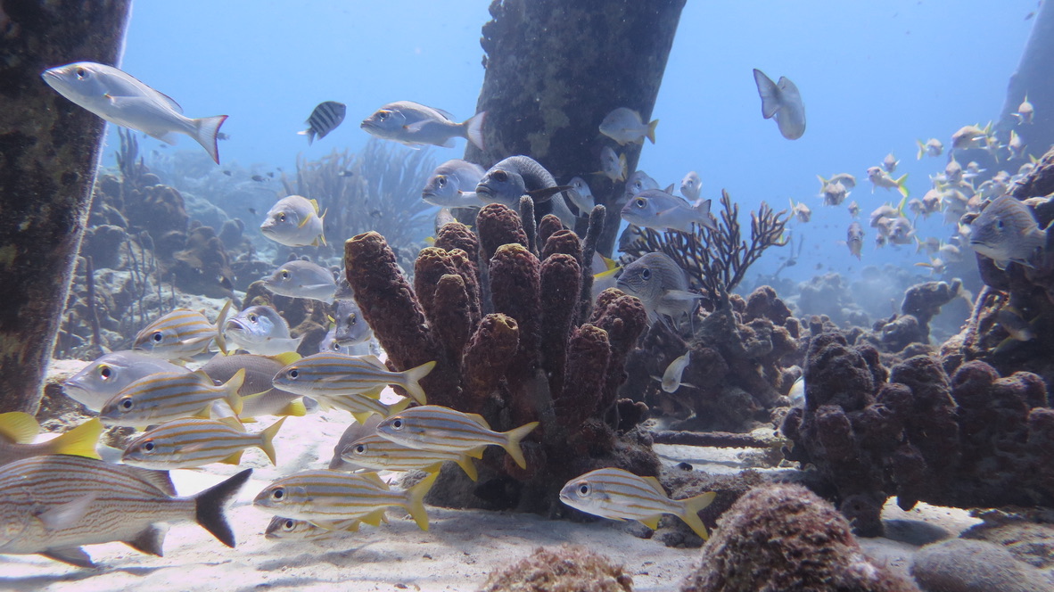
Every piling is encrusted floor to ceiling with hard coral, orange cup coral, tube sponge, and encrusting sponge in orange and purple. The density of growth on the pilings compresses what would normally be spread across fifty metres of reef into a single vertical column. Snapper schools hold position between the pilings in the shade; eagle rays cross the open sandy bottom below. The light filters down between the pier deck in columns, illuminating the fish in shafts.
Diving is restricted when ships are actively loading — the noise and turbulence make the timing obvious. On a quiet morning with no vessel, the pier is completely still and the visibility through the piling forest reaches twenty-five metres.
The coral nursery
STINAPA, Bonaire's national parks foundation, runs a coral restoration program in partnership with the Coral Restoration Foundation. The nursery sits at 8 metres: a grid of rope lines hung with fragments of elkhorn and staghorn coral, each tagged and tracked.
The fragments are grown here for 6–8 months before being transplanted to degraded reef sections along the coast. Survival rates in the nursery are well above 80%. The harder problem, as everywhere, is what happens once they're back on the reef and bleaching season arrives.
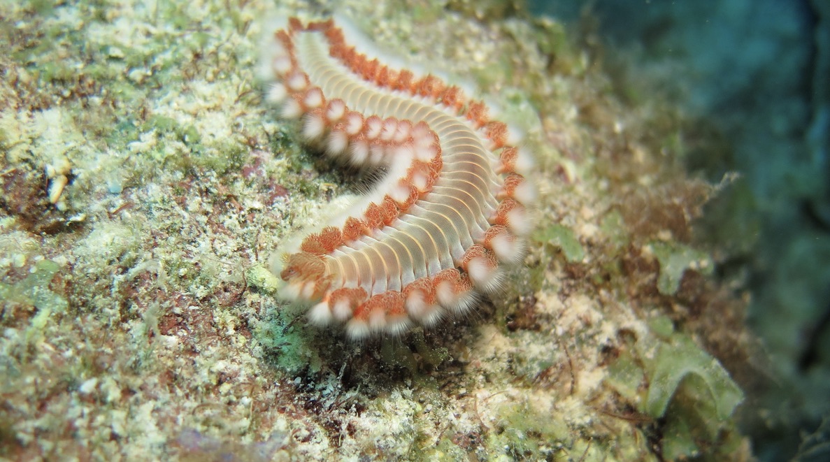
Not everything on the reef is delicate. The fireworm — Hermodice carunculata — grazes coral tissue and delivers a memorable encounter if touched; they move across the reef surface in plain sight more often than most divers notice.
Windsock and Calabas
Windsock, directly below the airport approach path, is a reliable evening dive. The grunt density here is exceptional — yellow and French grunts stacked between sea fans and star coral in numbers that require a slow count to believe. Stingrays work the sandy channels between reef sections as the light drops, resting between the fans in a pattern that makes them nearly invisible until they move.
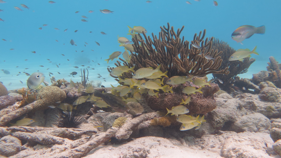
Calabas, the house reef at Harbour Village resort, holds one of the best concentrations of schooling fish on the south coast. Snapper schools loop through the coral formations in tight formation; yellow grunts shelter around staghorn heads in the shallows.
Margate Bay
Margate Bay sits on the southern leeward coast between Calabas and the salt pans — a broad, protected bay with a sand and rubble bottom and a reef that extends from two metres down to about twenty-five. The site is less trafficked than the named shore entries closer to town, which means the stingrays and turtles here are less habituated to divers and more interesting for it.
The reef structure at Margate is lower-profile than the walls further north — brain coral heads, scattered staghorn, and gorgonian fields on the sandy channels — but the fish density is high. Eagle rays cross the bay in the early morning before settling somewhere quieter as the day builds.
The salt pans and southern tip
The road to the southern tip of the island passes the Cargill salt operation — evaporation pans that stretch inland from the coast, the water in the pans tinted pink by halophilic algae. The white pyramids of harvested salt sit at the edge of the pans, visible from the water during a dive at Lac Bay or Angel City.
Red Slave and White Slave
Before reaching the lighthouse at the island's southern tip, the road passes two sets of stone huts that are among the more sobering landmarks on any Caribbean island. The Red Slave huts — four tiny stone structures, each barely large enough for a person to lie down — were built by the Dutch West India Company in the early 19th century to house the enslaved workers who harvested the Cargill salt pans during the working week. The workers walked from Kralendijk on Monday morning and returned on Friday evening; the huts were their shelter for the five days between.
The White Slave huts, slightly north, are a similar structure — marginally larger, whitewashed — and served the same purpose for a different section of the salt works. Both sites are now protected monuments. They sit close to the water, unremarked except by the occasional visitor who turns off the main road.
Willemstoren Lighthouse
The Willemstoren lighthouse stands at the southern tip of the island — a white tower built in 1837 and still operational, the oldest lighthouse in the former Netherlands Antilles. The surrounding coastline here is exposed ironshore, windward-facing, and unsuitable for diving, but the lighthouse and the view north along the leeward coast from its base make the drive worthwhile. In the late afternoon the salt pyramids are visible to the north, the flamingo flocks moving between the pans, and the water between the island and Klein Bonaire in clear, still blue.
Bonaire in Pictures
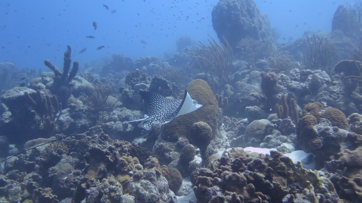
Spotted eagle ray banking over the reef — the spotted disc against sponge and coral below
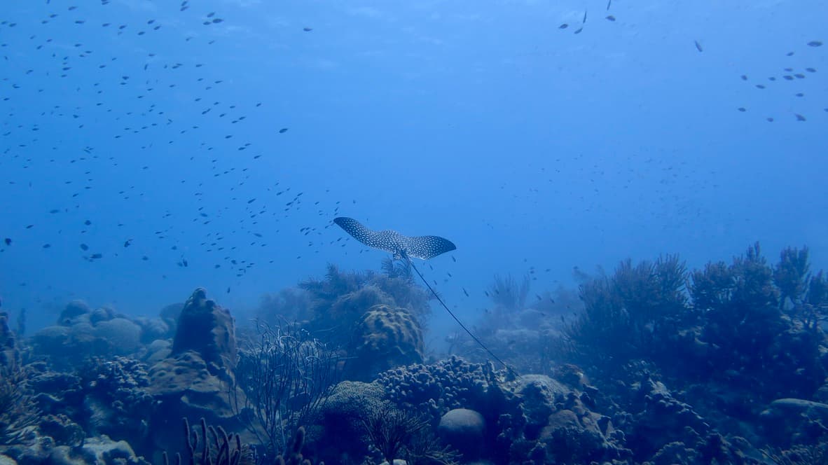
Eagle ray soaring high in the water column — reef structure below, open blue above
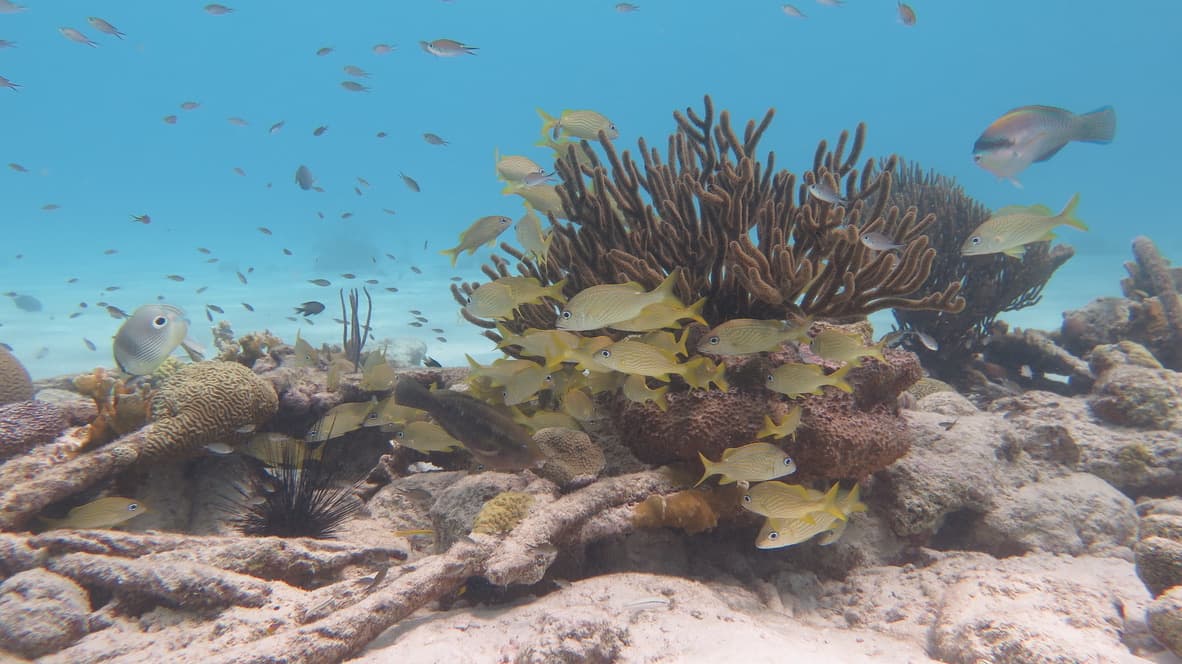
Yellow grunts schooling around staghorn coral in clear shallow water — the south coast reef at its most vivid
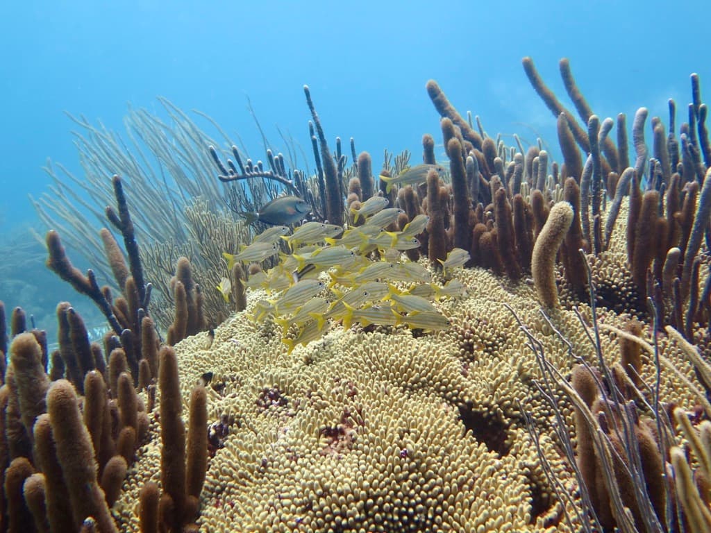
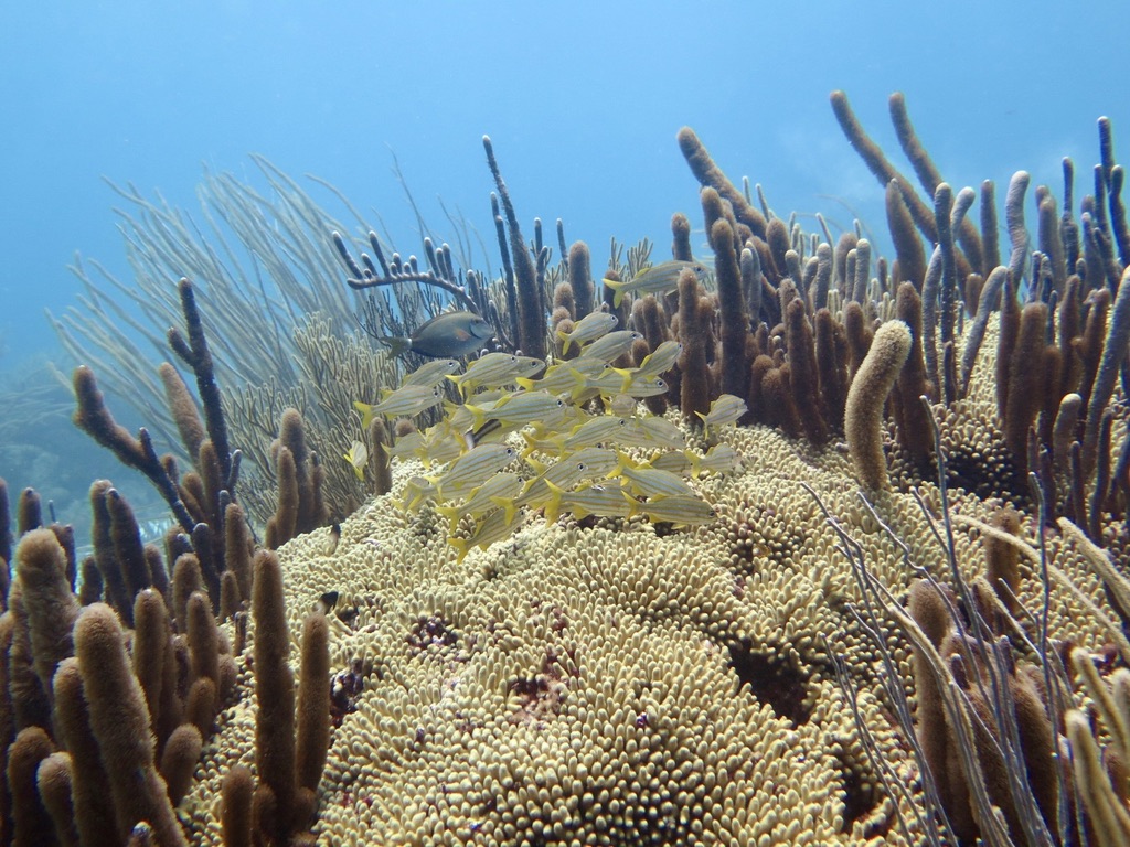
Yellow grunt school huddled in a dense gorgonian garden — sea rods and plumes framing the group
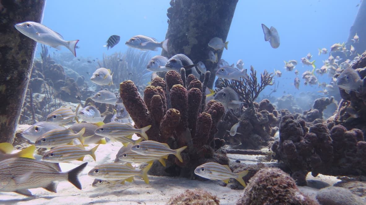
Mixed grunt and snapper school around a pillar sponge — the density typical of the south coast shallow reef
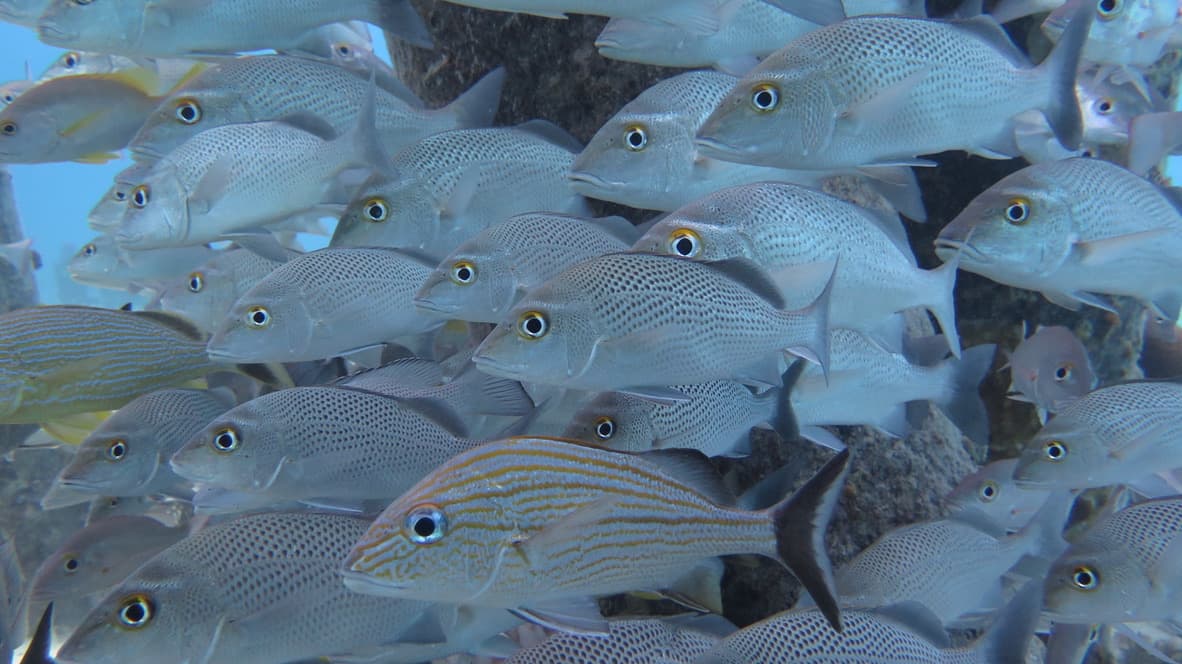
Dense snapper school filling the frame — a single striped grunt moving through the silver bodies
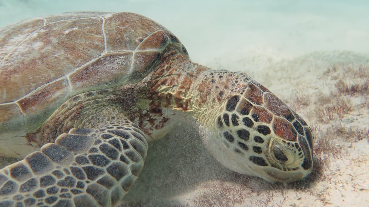
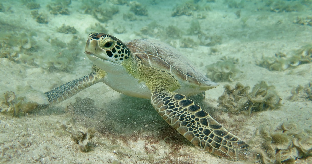
Green turtle face-on at close range on the sandy bottom at Klein Bonaire
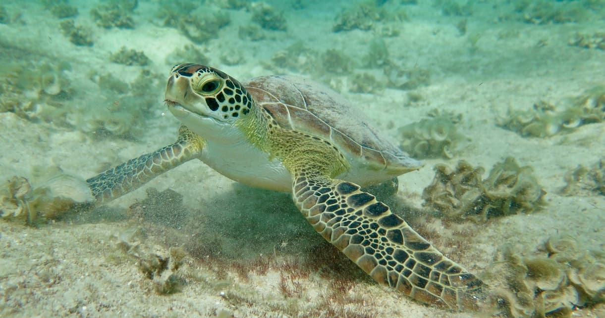
Green turtle swimming over the seagrass flat — moving between feeding areas on the south reef
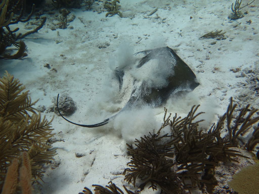
Southern stingray burying itself in the sand — sediment cloud billowing as it settles
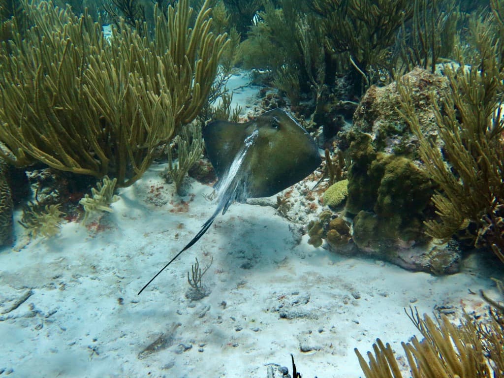
Southern stingray resting between gorgonians on the sandy channel floor
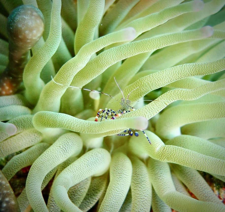
Spotted cleaner shrimp deep in a green bubble anemone — the striped legs and long antennae visible among the tentacles
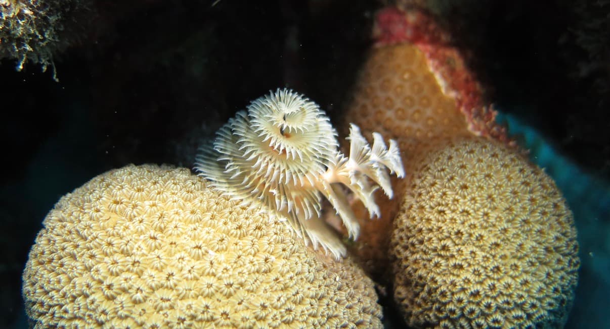
Christmas tree worm on a star coral head — the white radiole crown between two coral domes
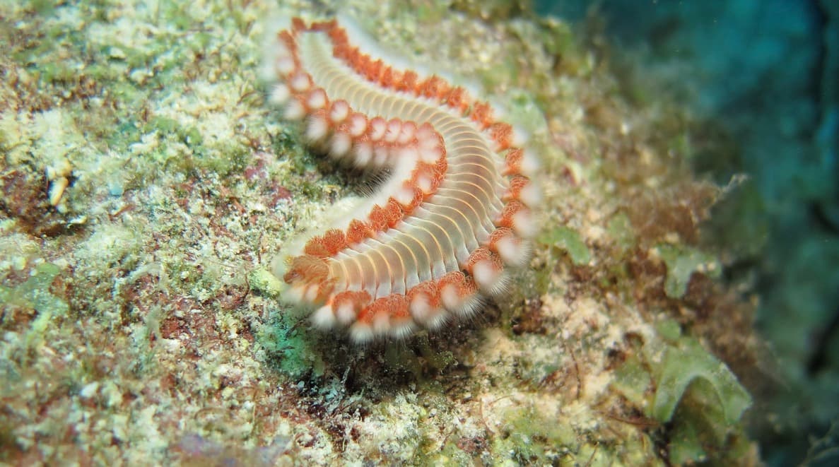
Fireworm on reef rubble — the hollow white-tipped bristles that break off on any contact
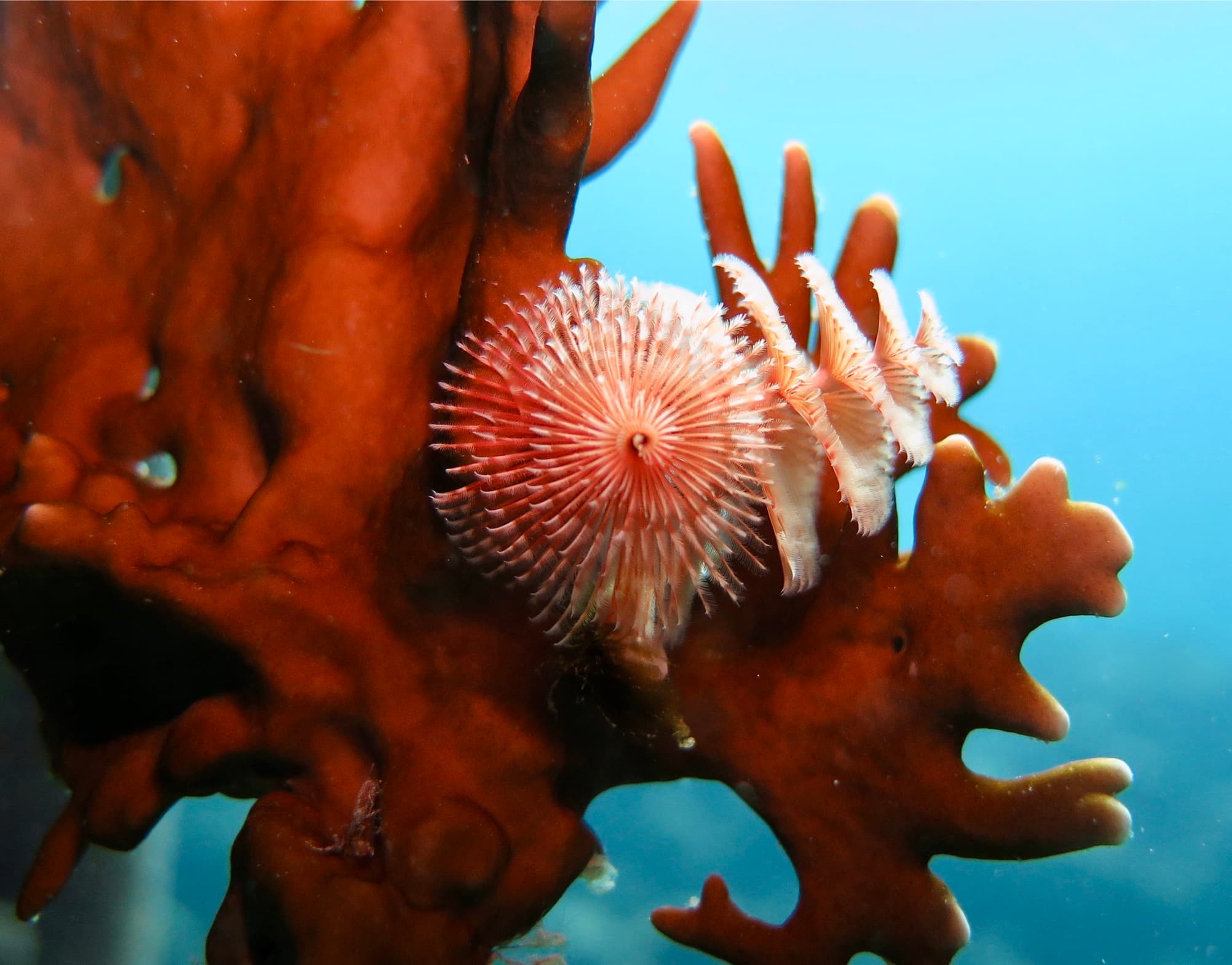
Fan worm radiole crown on a red sponge — the spiral structure catching particles in the current